We're hiring! Click to see available positions
We're Hiring! Explore Our Careers Page to Discover Your Next Opportunity!
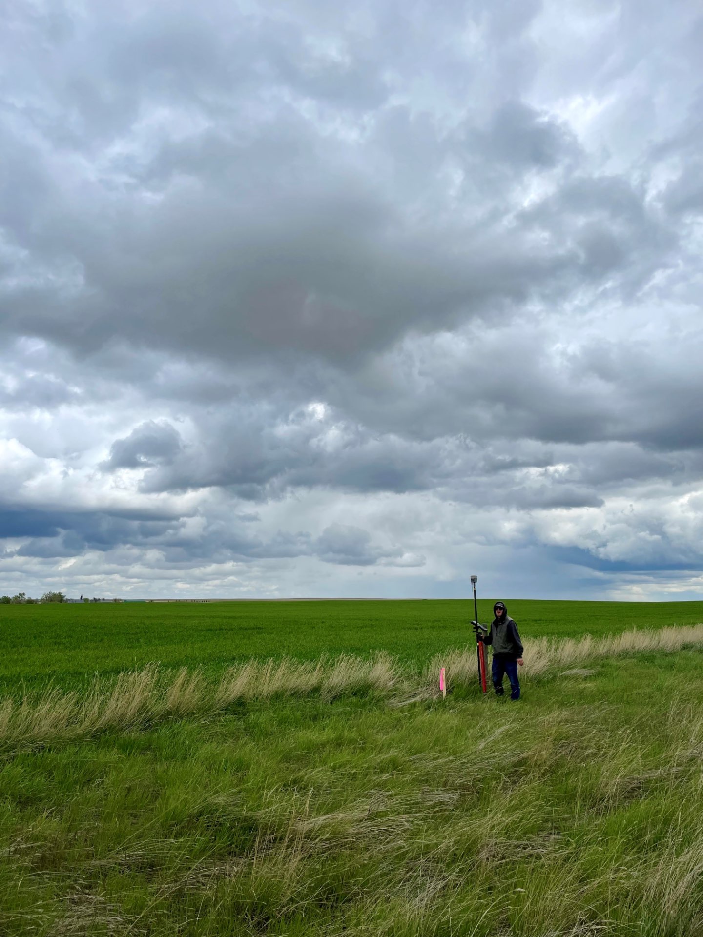
Stahly will represent the parcel boundary data on a survey drawing, called a Certificate of Survey (COS), showing lines of occupation, fences, and any encroachments mapped along the property’s limits. We submit the COS to the governing County for review and acceptance before recording the COS with the County’s Clerk & Recorders office.
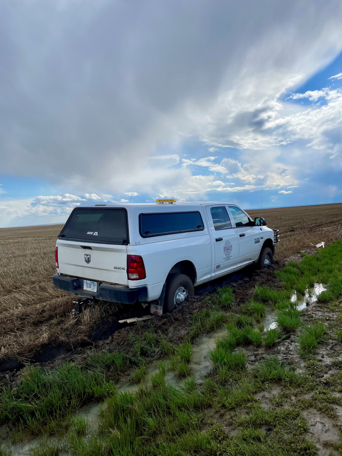
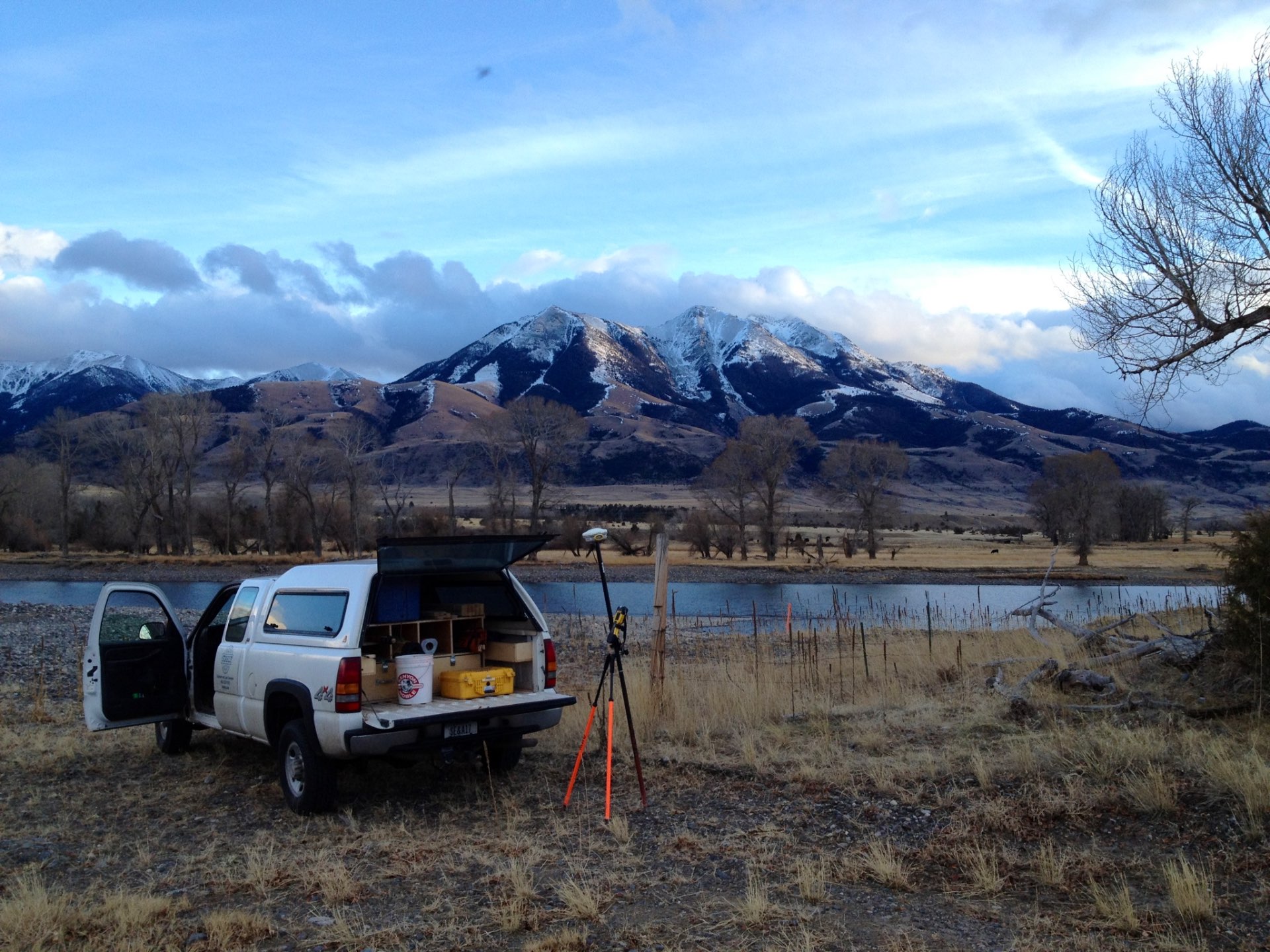
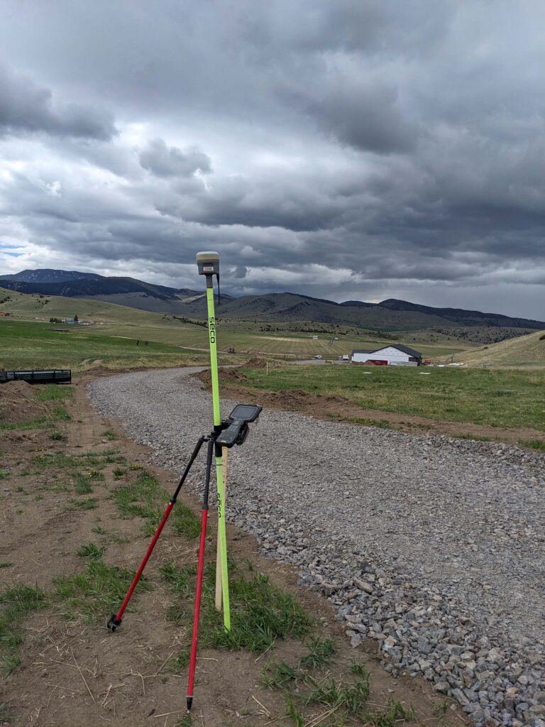
Project Examples:
Partner with Stahly Engineering for dependable boundary surveying services tailored to your needs. Contact us today to learn how we can support your next project.
Stahly Engineering is available to help you plan and execute your next project involving engineering, survey, or grant services.
HELENA, MT OFFICE
BILLINGS, MT OFFICE
2223 Montana Ave, Suite 201
Billings, MT 59101
Regional Manager:
Stephanie Ray, AICP, PMP
BOZEMAN, MT OFFICE
GREAT FALLS, MT OFFICE
CODY, WY OFFICE
1001 12th Street
Cody, WY 82414
(307) 509-5541
Regional Manager:
Justin Lundvall, P.E.
We're hiring! Click to see available positions